
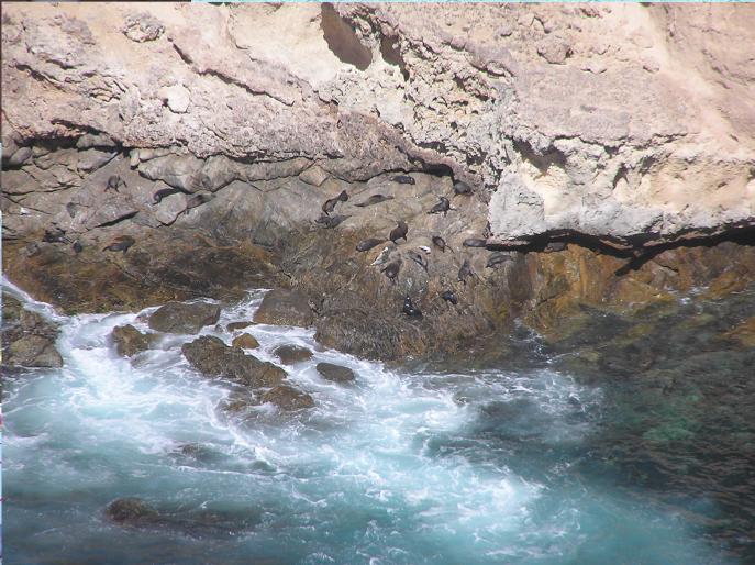
Stopped next at Sperm Whale Cliff, then on to Cape Wiles. This spot overlooked a fur seal colony, as you can see by the fabulous clear close up shots we've included below! For those of you with poor eyesight, those black specks in the water and on the rocks are fur seals.

Then of course there's an unknown flower bush that I took a picture of for uncle Freddo. Bet you're all glad that I included these photos!
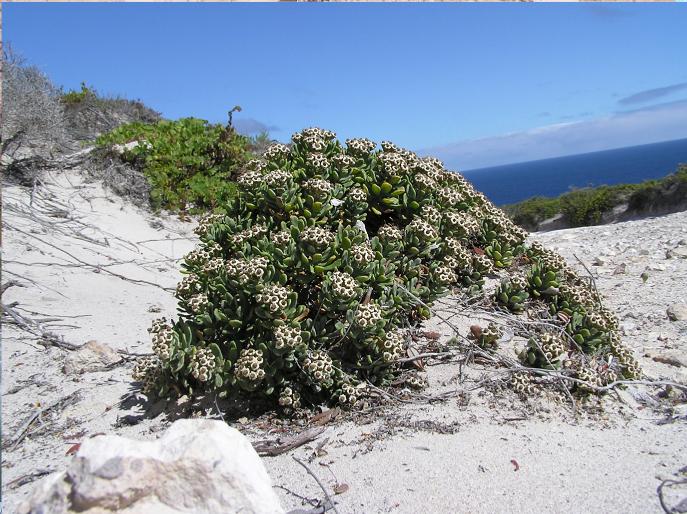
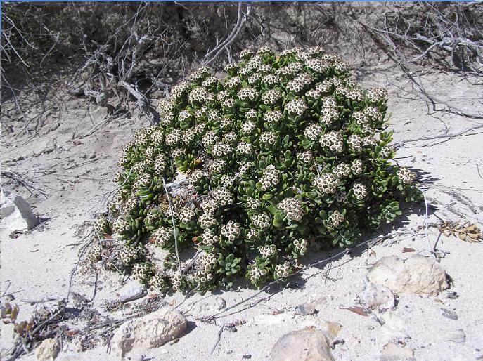
I think we took these next shots from Blacks Lookout. The following two look back east over Cape Wiles, the place where the fur seal colony was.
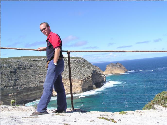
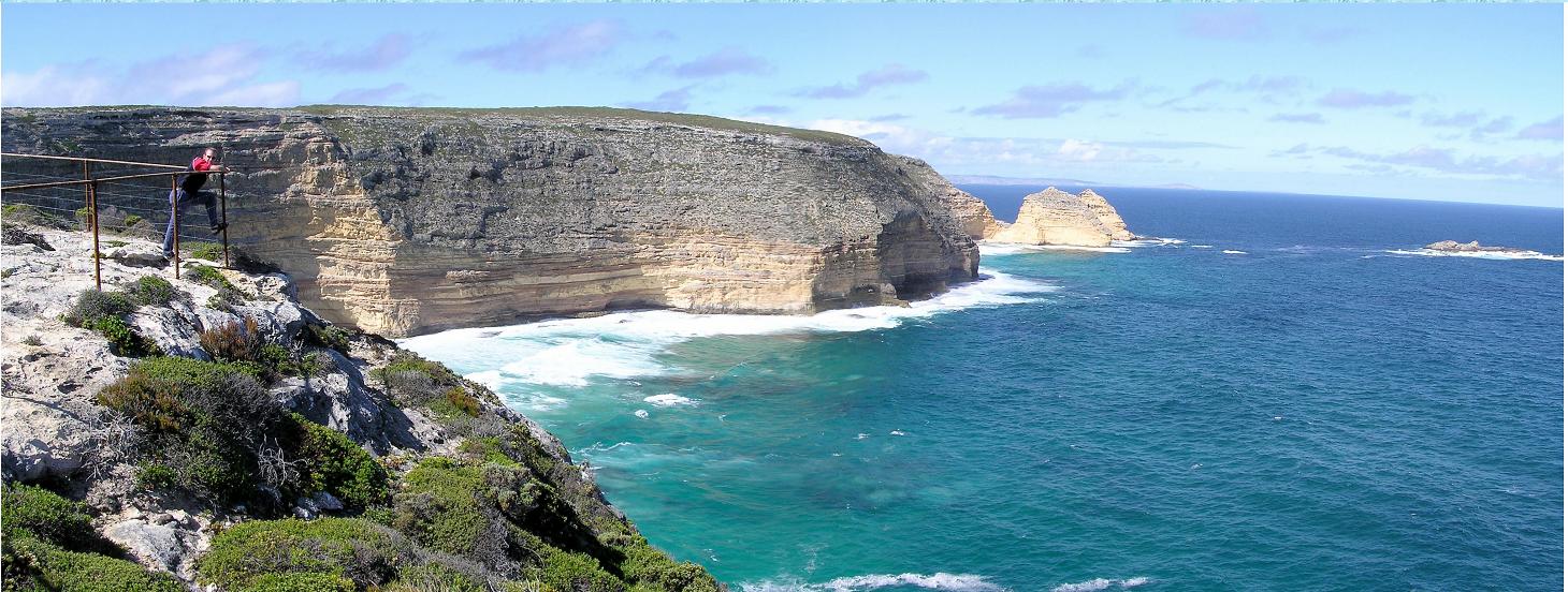
This last one looks west along the cliffs

And that's where we ran out of camera batteries! Plenty more to see, but you'll have to go and see it yourself.
Next day (Friday 12-3-04) was pretty lazy, nothing really to report.
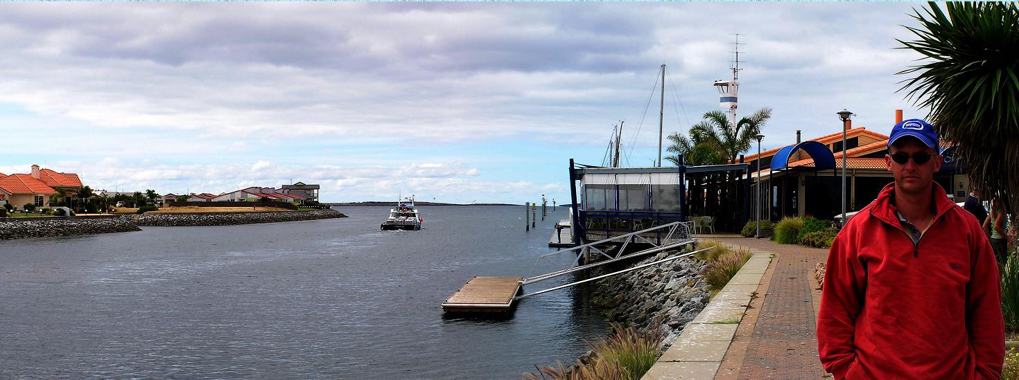
Went to the Marina Hotel for lunch on Saturday (13-03-04). It's a pretty nice spot, so we got keen and took a picture. For lunch we had the biggest oysters we'd ever seen in Australia. They were from nearby Coffin Bay and they were awesome! A dozen of those suckers, and you're stuffed.
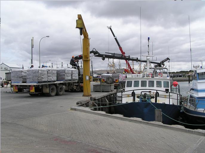
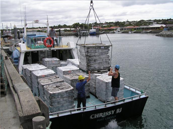
While we were there, the frozen blocks of pilchards were getting loaded onto boats to feed the yellow-fin tuna in the off-shore farms. A big pellet of frozen pilchards weighing hundreds of kilos is dropped twice a day into each of the tuna farm, and there are STACKS of tuna farms. Heaps of semi-trailor loads of frozen pilchards are loaded out every day.
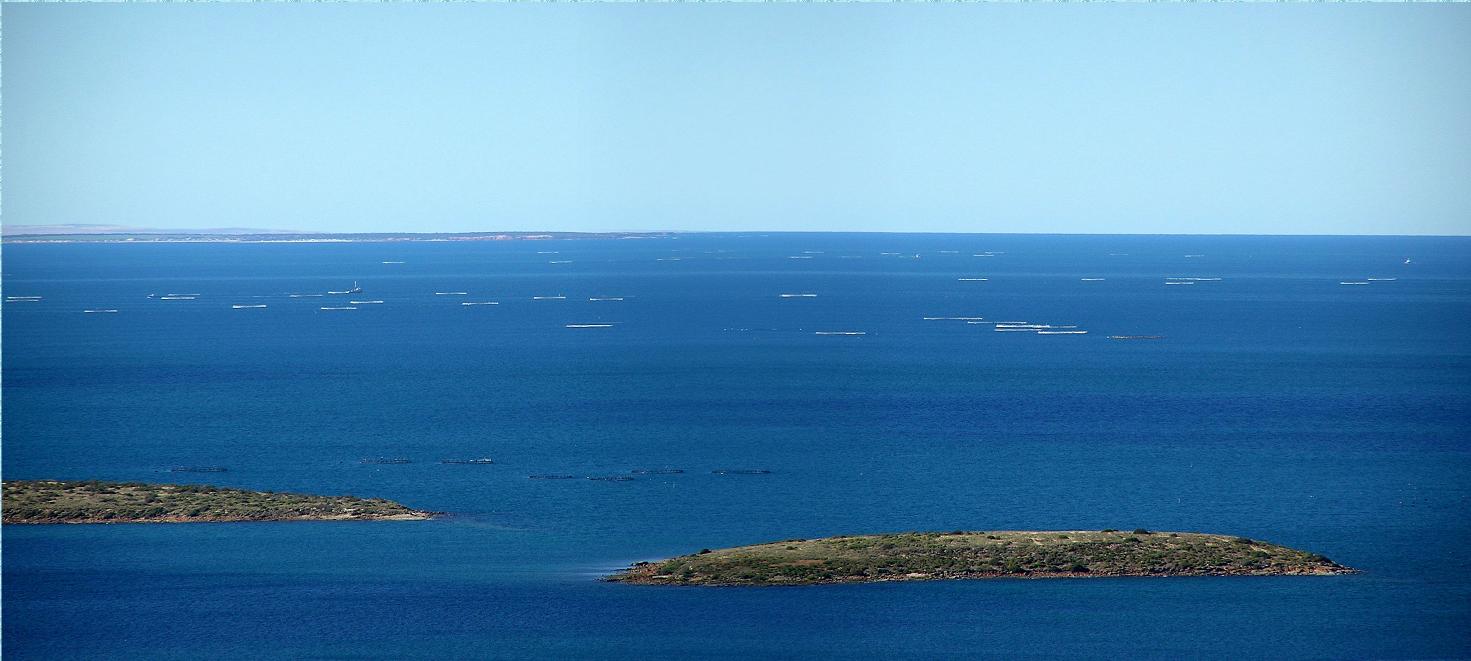
We took a pic of the tuna farms from a lookout. It's not very clear, but the faint white and black marks on the water are the top rings of the farms. They are cylindrical in shape with just the top rim showing above the water surface.
Next day we packed up and headed down to the Lincoln National Park. It was a nice spot, but it really had nothing on Whaler's Way.
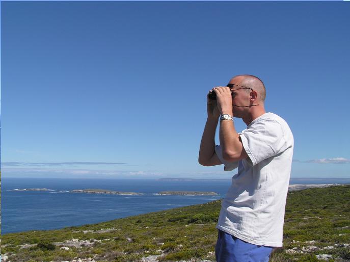
Anyway, we started out by heading down to Memory Cove. Got some groovy pics on the way down there, and even saw a pod of dolphins playing in the surf at one of the beaches on the way.
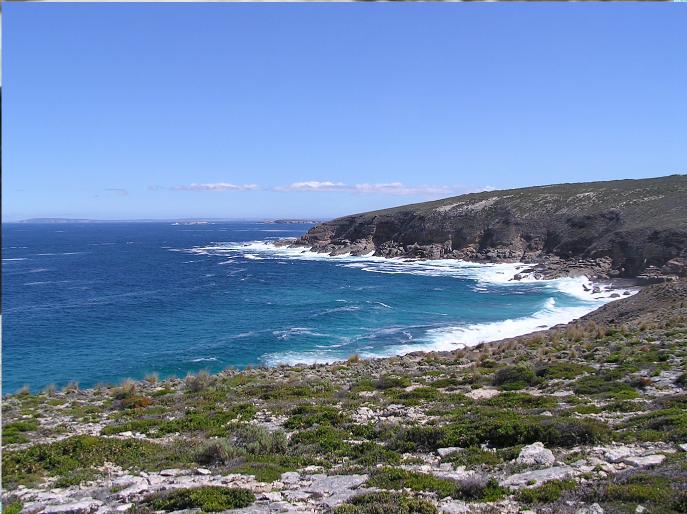
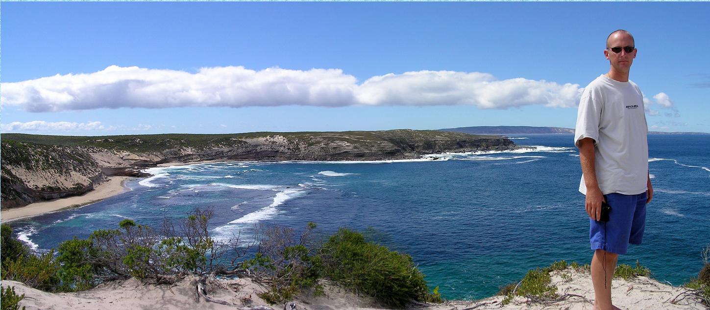
After Memory Cove we headed back to the top of the park and checked out the other spots on the map. Walked up Stamford Hill and took the following panorama shot. The picture shows about 180 degrees of view. This hill is hwere Mathew Flinders took mapping angles of the bay in 1802 during his circumnavigation of Australia on HMS Investigator.

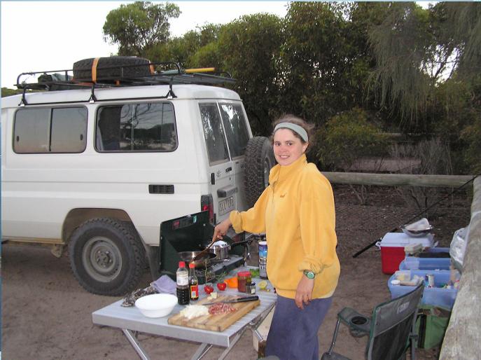
Pulled up for the night (Sunday 14-3-04) at Surfleet Cove inside the National Park. Nice camping area there. Here's me cooking dinner there.
We were told that you could collect razor fish (a type of shell fish) along the beach there and that they were good to eat, so next morning I was off collecting tasty treats for breakfast!
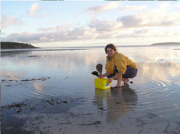
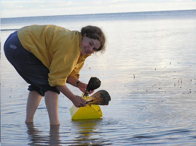
I tried cooking them a few different ways, but decided they were pretty crap, so most of my precious catch went back to the deep blue sea for a second shot at life, and toast was back on the breakfast menu - much to Bradley's relief!
Finished that afternoon off with a little salmon fishing at Port Lincoln and then headed straight to Coffin Bay (Monday 15-03-04).
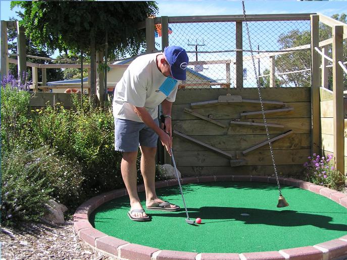
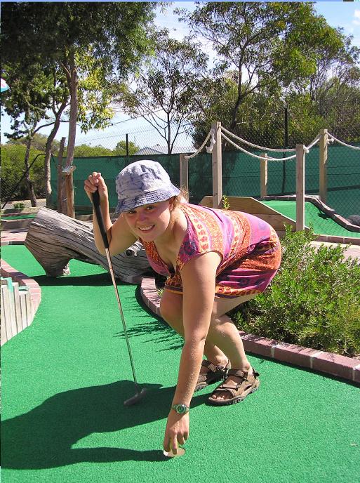
A lazy couple of days followed, which included lots of reading, a little walking about, some domestic chores and a mini golf tournament, which I won with ease and style! Well, perhaps not so much ease or style if the truth be known.
Well, as most of you know, we ended up heading straight for home the following day (Thrusday 18-03-04) and spent the next two months in sunny Melbourne!

