21/08/2004 - Stage 2, Day 85, Page 1 of 3 - Katherine to Wolfe Creek Meteorite Crater Reserve, WA
Busted a move and headed out of Katherine along the Victoria Highway towards Western Australia on Monday 2nd August. We didn't want to take the main highway of course, so about 120km out of town we turned left down the Buntine Highway and drove through Top Springs to Kalkarindji where the single lane of bitumen ran out and the corrugations began. We had planned to get fuel and go to the toilet here, but when we arrived the only shop (with the only public toilet) in town had a closed sign up. It was the middle of the day on Monday, but it turned out to also be a public holiday called 'Picnic Day'. What sort of a public holiday is that! Picnic Day?? I tried to find out what this day was supposed to commemorate, but, unlike other states, the NT government don't tell you what the significance of any of their public holidays is - they just supply the date.
Anyway, we busted a move out of town to the nearest bush to fix the toilet disaster, and then kept motoring on through the red dust and pulled up for the night by the side of the road just before the WA border. Got up super early the next day after watching a smashing sun rise and headed over the border, where we stopped and got the camera & tripod out to take a super panorama shot of us and the surrounding country side. It was actually a great photo, but a few days later i accidently deleted it... woops...
Basically from Katherine up until about 60km before Halls Creek we passed through really flat and increasingly barren red dirt country, but then it suddenly changed to lovely hilly vegetated red rocky country. We stopped at Palm Springs and took a picture coz it was pretty.
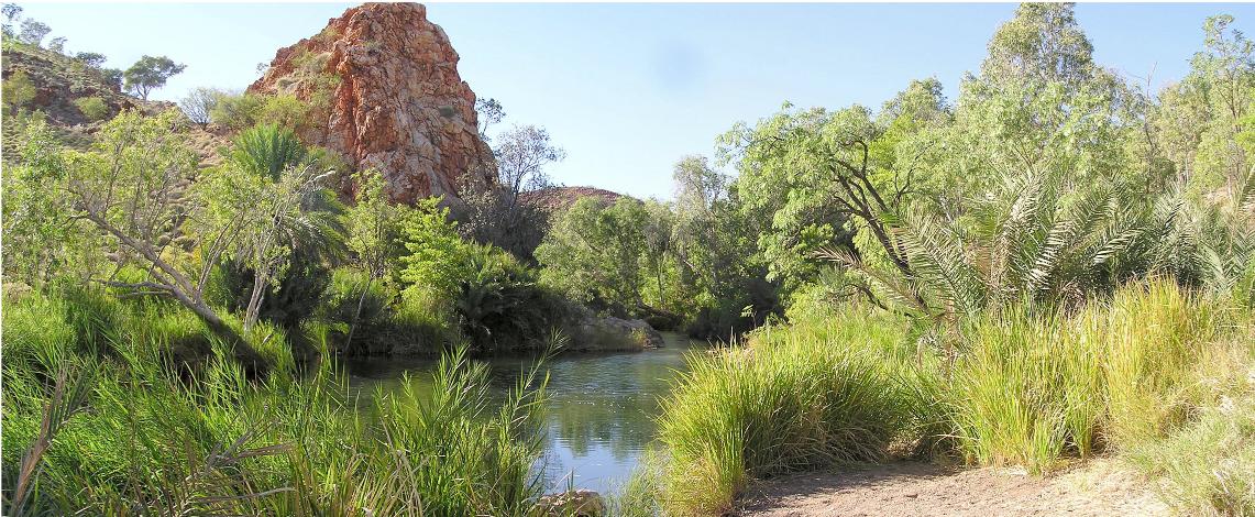
We tried to go to Saw Tooth Gorge, but couldn't find the turnoff. We did stop again very soon though and take a scenery shot (this is a really wide picture so you'll have to scroll to the right to see it all).

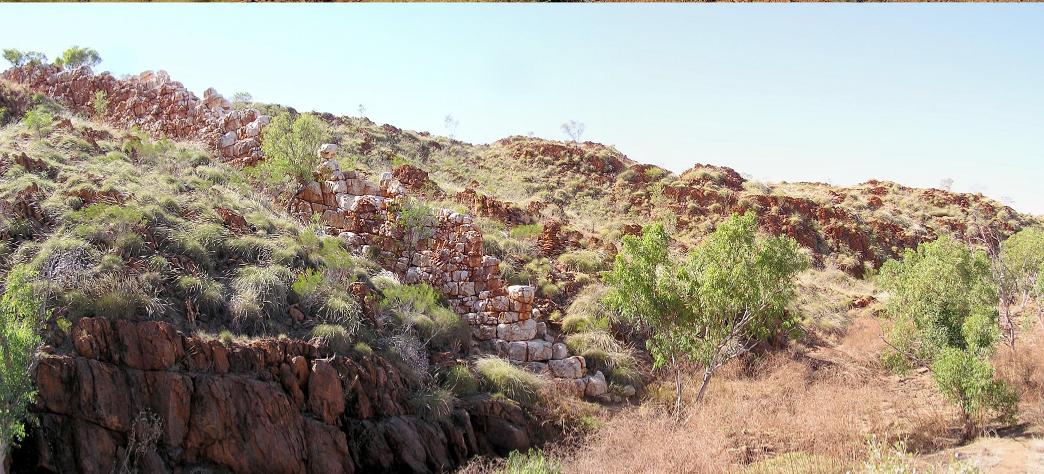
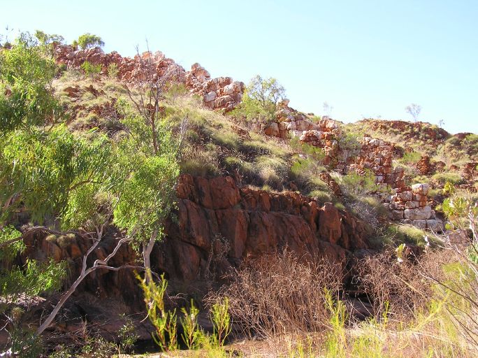
After that we motored past Old Halls Creek which we probably should have stopped at because it looked interesting, but it'll have to wait till next time. We did stop at China Wall though and that was worth a look. It was a natural rock formation which looked like a stone wall running down the side of a hill.
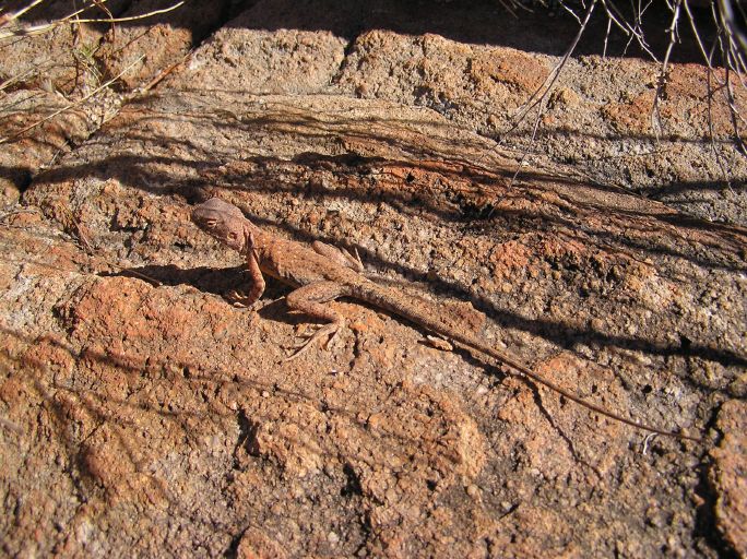
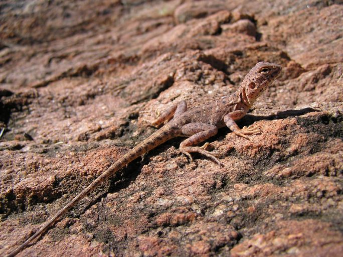
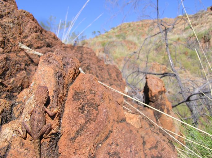
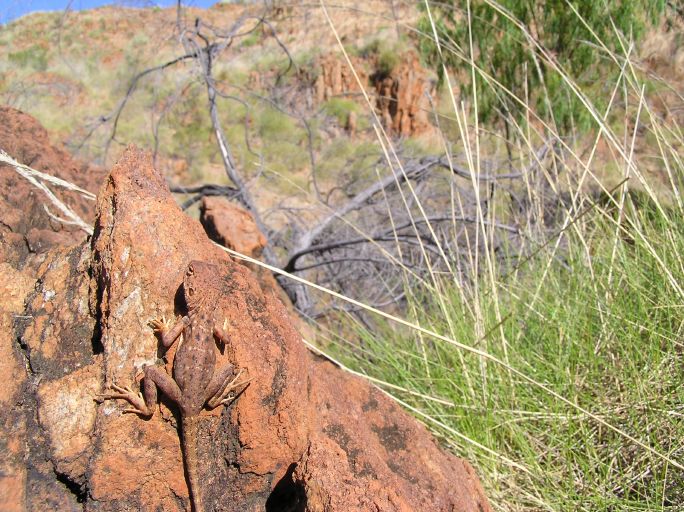
There were heaps of really lovely (and extremely well camouflaged) lizards there, so I took pictures of them as well.
Drove into Halls Creek and then south for about 145km along the Tanami Road to the Wolfe Creek Meteorite Crater Reserve. I'd heard about the crater years ago, but never knew where it was until I noticed it on the map that morning. It was great to finally see it.
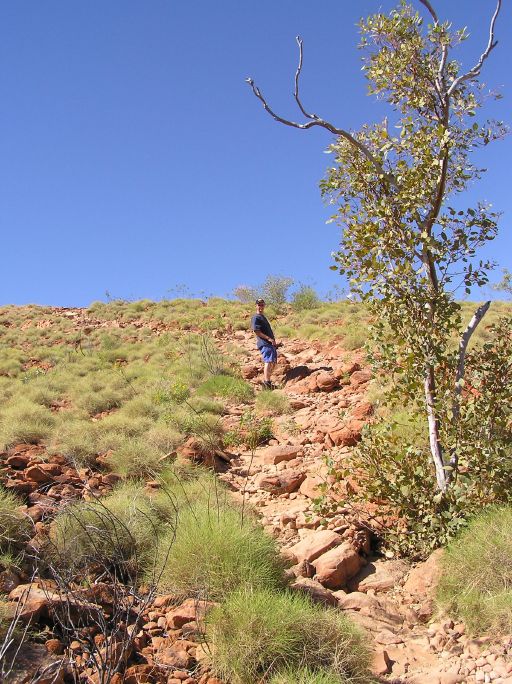
About 300,000 years ago a meteorite weighing more than 50,000 tonnes hit the earth and made this crater. It was originally about 120m deep below the surrounding plain, but over time the hole had filled in and it's now only about 20m deep below the plain (plus a big circular hill around it above the plain). Here's Bradley walking up the side of the crater.
The panorama shot we took doesn't really do it justice - it's huge! Scroll right to see the whole picture.

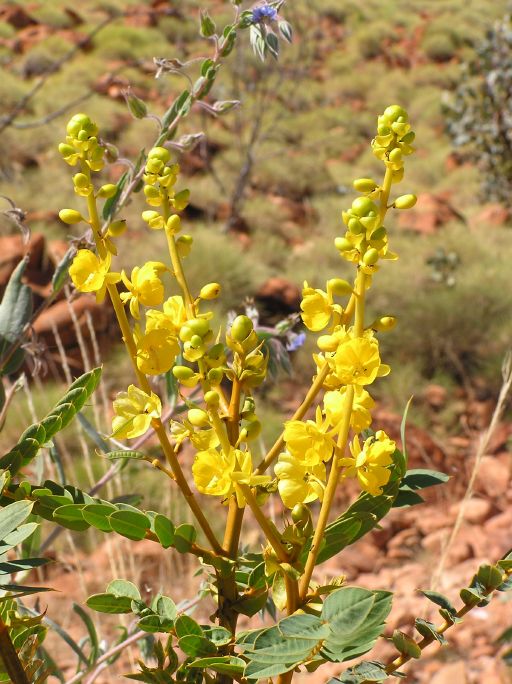
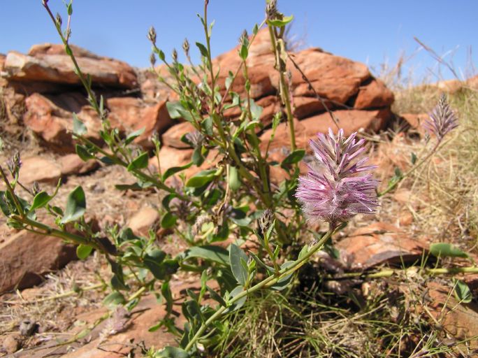
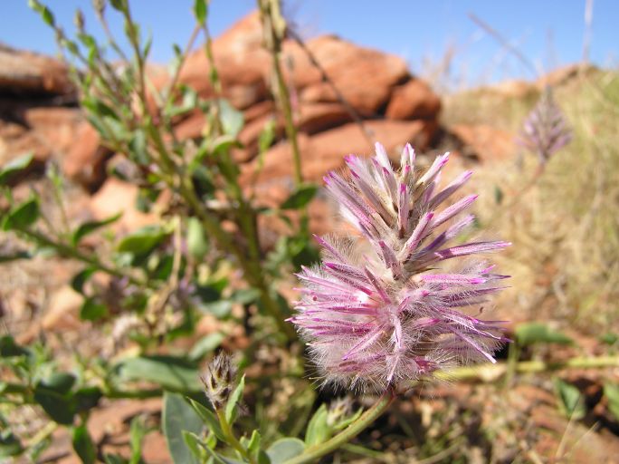
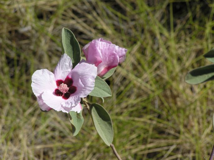
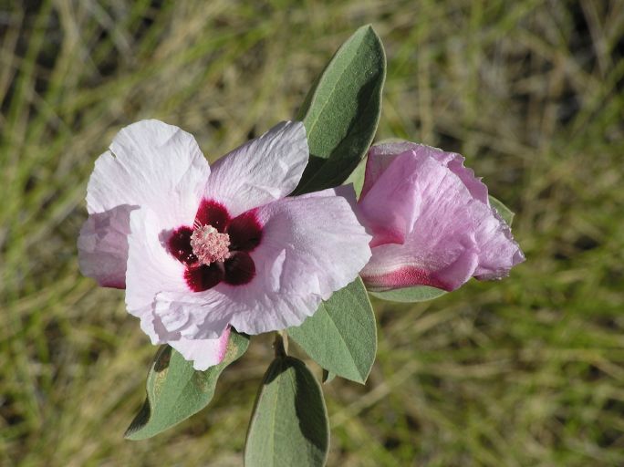
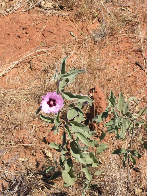
And here are the lovely wildflowers I took pictures of on the way down the crater.
